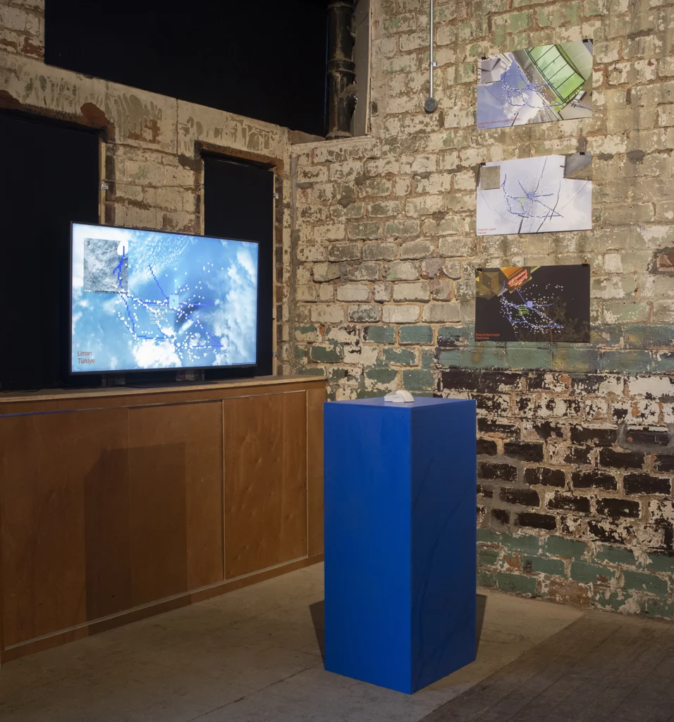
Safe Travels
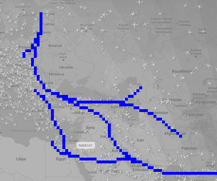
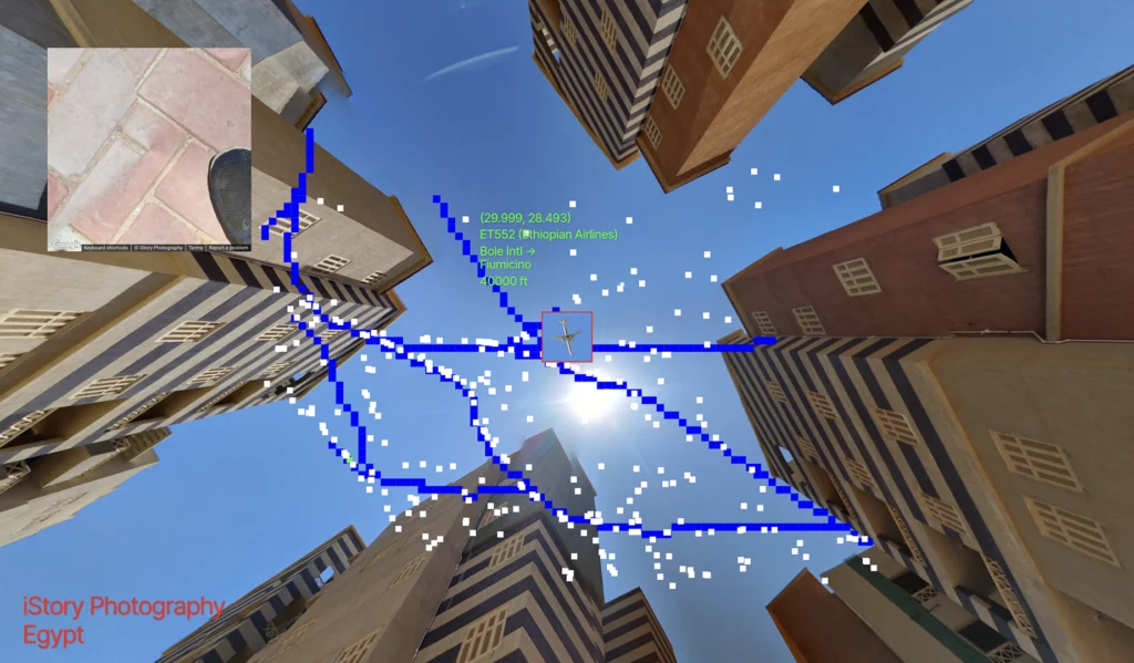
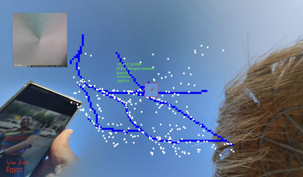
This web-based work looks at new flight corridors designed to reduce the risk of air travel around regions experiencing aerial warfare such as Ukraine and the Middle East.
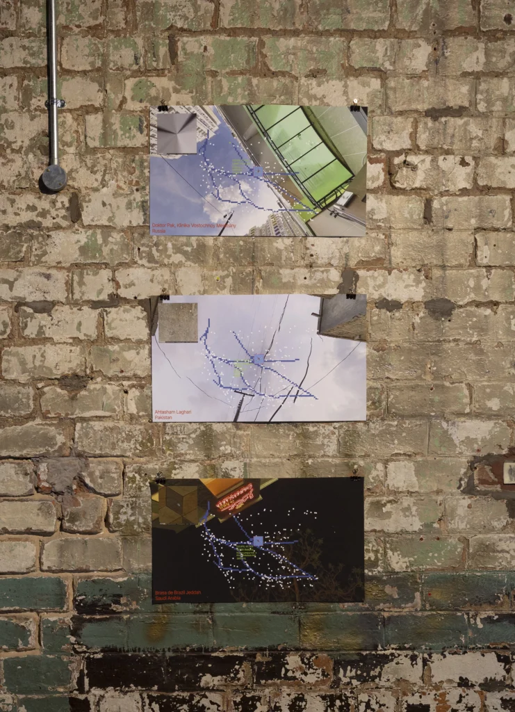
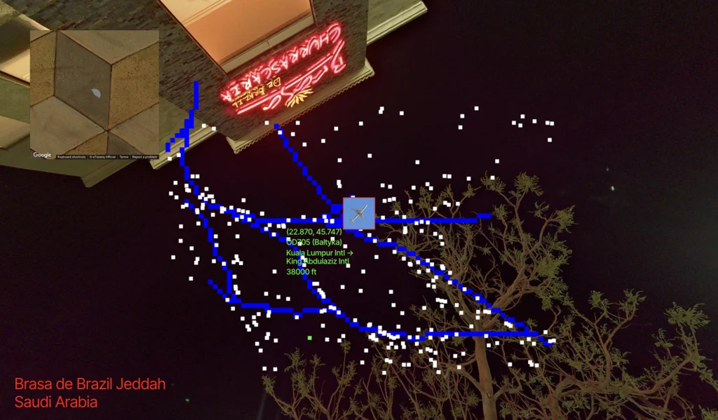
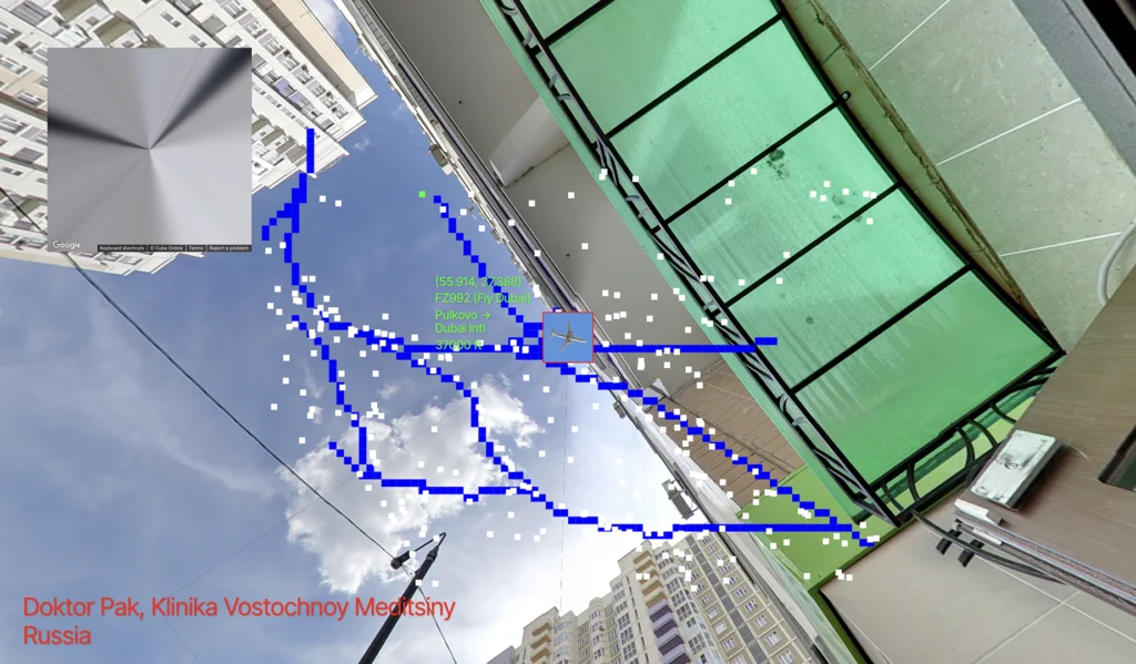
The custom code pulls in live aircraft coordinates from flight data API and overlays user-submitted panorama views from Google’s Street View API, displaying the ground and the sky — ordinary moments from the area directly beneath the selected live flight.
I made this work to bring together thoughts about the complexities of air travel between the vast geopolitical implications – routes shaped by borders, economies, and international relations — and the intimate ground-level perspectives.
This work was developed and exhibited at “A Sense of Urgency” residency at French Street, Glasgow.